Yes in the sense that matters: Mexico City's water system is structurally overdrawn — the valley's aquifer is pumped faster than rain recharges it, the city physically sinks as a result, and recurring droughts push reservoirs behind the Cutzamala system to levels that force rationing. No single day will arrive when taps citywide run dry; the honest version is a rolling crisis of pressure drops, tanker-truck deliveries and unequal scarcity that has already arrived for millions of residents, scheduled to worsen with each drought cycle (CONAGUA; SACMEX system data; academic hydrology).
A city built against its own geography
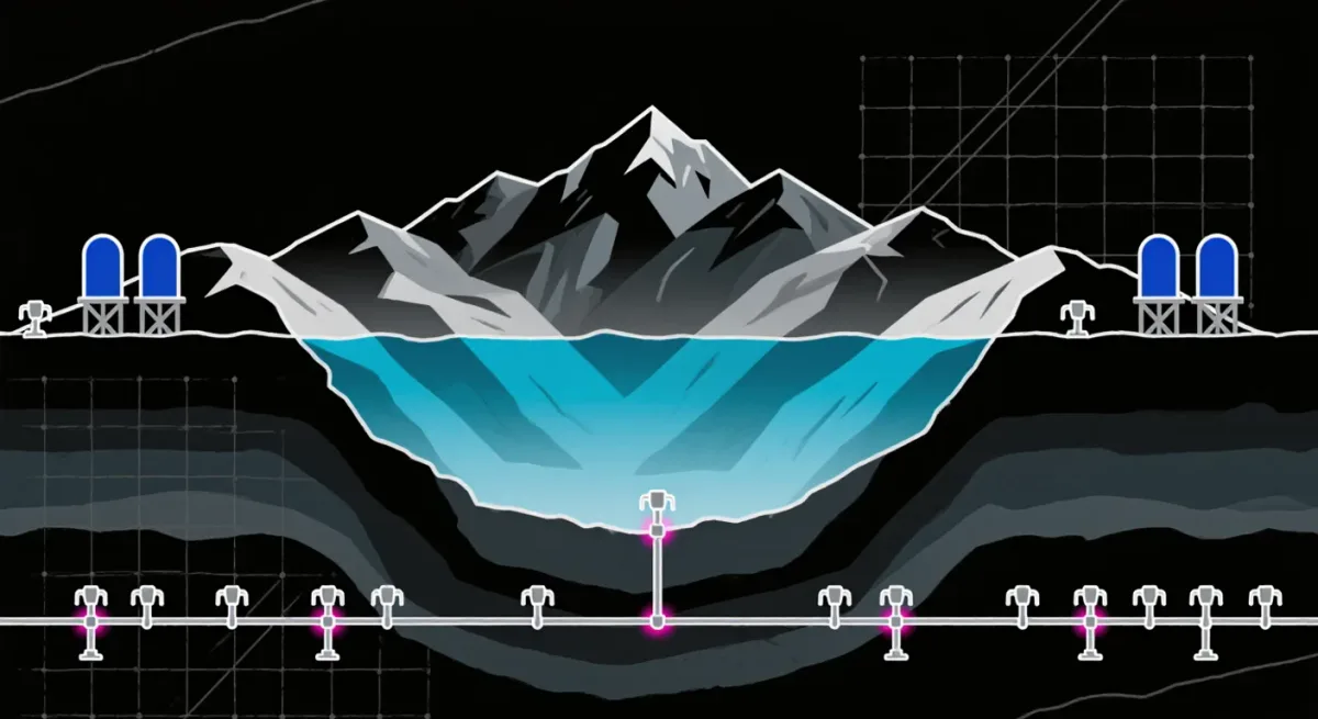
Tenochtitlan stood on a lake. Mexico City stands in its drained basin — a decision that created the modern metropolis and its water curse simultaneously. The lakebed clays compact as the aquifer beneath is emptied, so the city subsides: parts of the historic center and the east have sunk measurably for a century, by meters cumulatively, tilting drainage that was engineered level and cracking infrastructure that was engineered straight. Gravity, in Mexico City, is a moving target. Rain, abundant in the summer season, falls too fast for the sealed, sinking city to absorb — it floods the east while the aquifer below goes unrecharged, and the drainage system ships stormwater out of the valley rather than into storage.
Where the water actually comes from
- Aquifer of the Valley of Mexico: the majority of supply, drawn faster than it recharges — the overdraft that drives subsidence.
- Cutzamala system: a network pumping water roughly 100 kilometers and nearly a vertical kilometer uphill from the Cutzamala river basin — among the world's most energy-expensive urban supplies, delivering roughly a quarter of the valley's needs at costs the tariff structure does not recover.
- Lerma system: the older inter-basin transfer, tapping wells west of the city.
The network between source and tap is the quiet crisis: a substantial share of the water put into the system — estimates run from a quarter to two-fifths — is lost to leaks in thousands of kilometers of aging pipe, a figure that makes pipe repair the city's cheapest new water source and its least glamorous.
What 'Day Zero' actually meant
The phrase traveled in early 2024, when drought took Cutzamala reservoirs to historic lows and some analysts projected a potential system failure within months. The rains arrived, the reservoirs recovered, the headline faded — and the hydrology did not change: the aquifer remained overdrawn, subsidence continued, and the east-borough tandeo (rotating scheduled outages) regime that had already rationed supply in Iztapalapa-style tap-water-by-truck daily life continued its quiet administration of scarcity. The lesson hydrologists drew: the catastrophe is not an event but a distribution — wealthy districts swim, poor peripheries queue for pipas, the tanker trucks whose economics the crisis created.
| System element | Status |
|---|---|
| Valley aquifer | Pumped beyond recharge; drives subsidence |
| Cutzamala transfer | ~25% of supply; drought-vulnerable reservoirs |
| Distribution losses | ~25–40% of input lost to leaks |
| Equity | Peripheral boroughs rely on tandeo schedules and pipas |
Can it be fixed?
The engineering menu is known and expensive. Fix the leaks — the highest-return item by a distance. Recharge the aquifer with captured stormwater and treated wastewater rather than exporting both out of the basin. Reuse: the city treats only a modest fraction of its wastewater, and industrial reuse of treated flows is the fastest new 'source' available. Desalination and new inter-basin transfers remain on the list as last resorts whose energy bills compound the existing Cutzamala mistake. The governance obstacle is older than any pipe: water is split across federal, state and municipal authorities, tariffs price water below its cost, and no actor owns the whole system's balance sheet — a textbook case of the metropolitan coordination problem.
Why outsiders should care
Mexico City is a preview of the category: a megacity of 20-plus million whose water constraint was set by geography, worsened by hydrology and is now administered by rationing. Cape Town, Chennai, São Paulo have each run versions of the same script. The megacities of this century will be judged less by their skylines than by whether their water math closes — and the world's seventh-largest urban area is doing that math in public, one tanker truck at a time.
The rains that cannot save the city
The paradox that defines Mexico City's water year is that its wet season delivers more than enough volume — and almost none of it stays useful. Summer storms dump on a sealed, sinking urban surface, and the runoff becomes flood: the east-borough inundations that close avenues and soak homes are the same rain that, in a functioning basin, would recharge the aquifer. Instead, the deep drainage system — the grand canals of the nineteenth century and the giant tunnel excavated this century beneath them — exists precisely to expel that stormwater from the valley as fast as possible, protecting a lakebed city from the water it desperately needs to keep. The city engineered itself out of flooding and, in the same motion, into scarcity.
Every serious proposal to close the gap therefore runs against the drainage inheritance: green infrastructure to infiltrate rain where it falls, restoration of the basin's remaining permeable southern forests — the urban parks that function as the aquifer's intake zones — and capture schemes that treat stormwater as supply rather than threat. These are the projects that hydrologists rank highest on cost per cubic meter recovered and that municipal politics finds hardest to fund, because their benefits arrive underground and invisible. The visible emergencies get the tankers; the quiet ones, the ones that would end the tankers, wait in infrastructure plans whose implementation calendars keep sliding — which is, in one sentence, the past forty years of Mexico City water policy.
For how Mexico's industrial north manages its own resource constraint, read our explainer on Monterrey and nearshoring, and follow the whole file in the Mexico section.